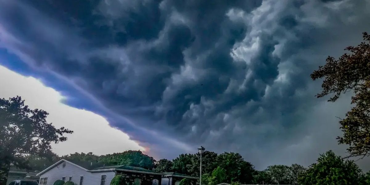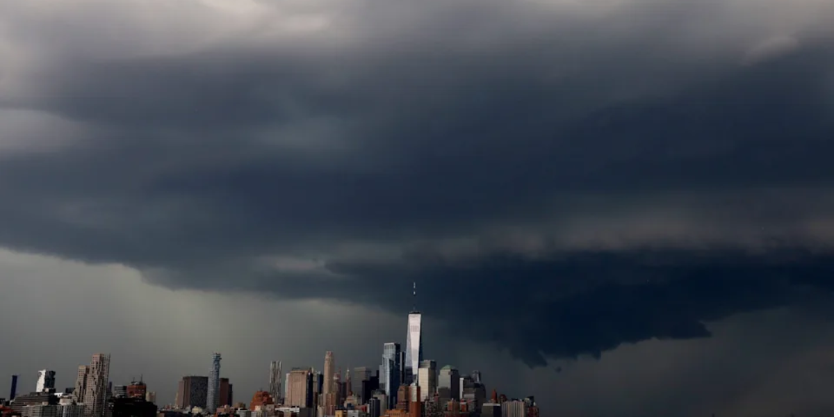
Residents across North Carolina, South Carolina, and Georgia are being urged to stay weather-aware this afternoon and evening as a round of scattered — and potentially dangerous — thunderstorms pushes into the region.
Forecasters say the atmosphere carries enough instability today that ordinary storms could quickly strengthen, giving some communities little time to react. The window of highest concern runs from 3 p.m. to 8 p.m., though storm activity has already begun forming ahead of that peak period.
Multiple Cities Already Seeing Storm Development
Radar is tracking intense storm cells near Knoxville, Asheville, and Charlotte in North Carolina, with additional activity near Winston-Salem and Raleigh. Cells are also visible near Greenville, Athens, and Atlanta in Georgia, along with storms developing near Macon, Savannah, and Statesboro. Columbia and Newberry in South Carolina are also under the threat zone.
Coverage will not be uniform — some communities will see nothing while neighboring areas deal with significant weather within the same hour.
Damaging winds Primary threat
Frequent lightning Stay indoors
Heavy downpours Flash flooding possible
What You Should Do Right Now
Gusty winds and frequent lightning are the primary threats identified by forecasters. Anyone outdoors during the afternoon hours should plan to be inside before 3 p.m. and remain inside until storms clear your area. Avoid using electrical appliances during lightning activity and stay away from windows if storm conditions arrive.
On the positive side, the storms are expected to bring brief temperature relief to communities that have been dealing with recent heat — though forecasters caution that the storm threat outweighs any cooling benefit for those in the direct path.
Conditions will be monitored continuously through the evening. Residents are encouraged to enable weather alerts on their phones and check local conditions frequently before making any outdoor plans this afternoon.