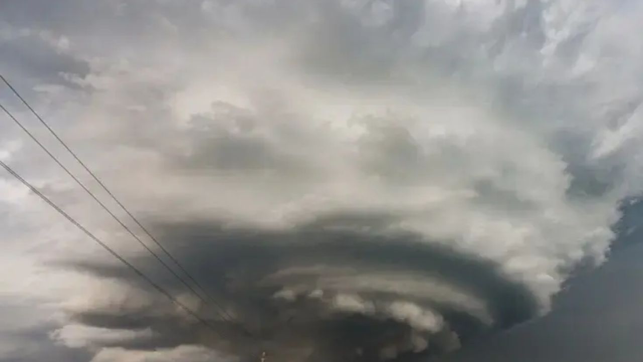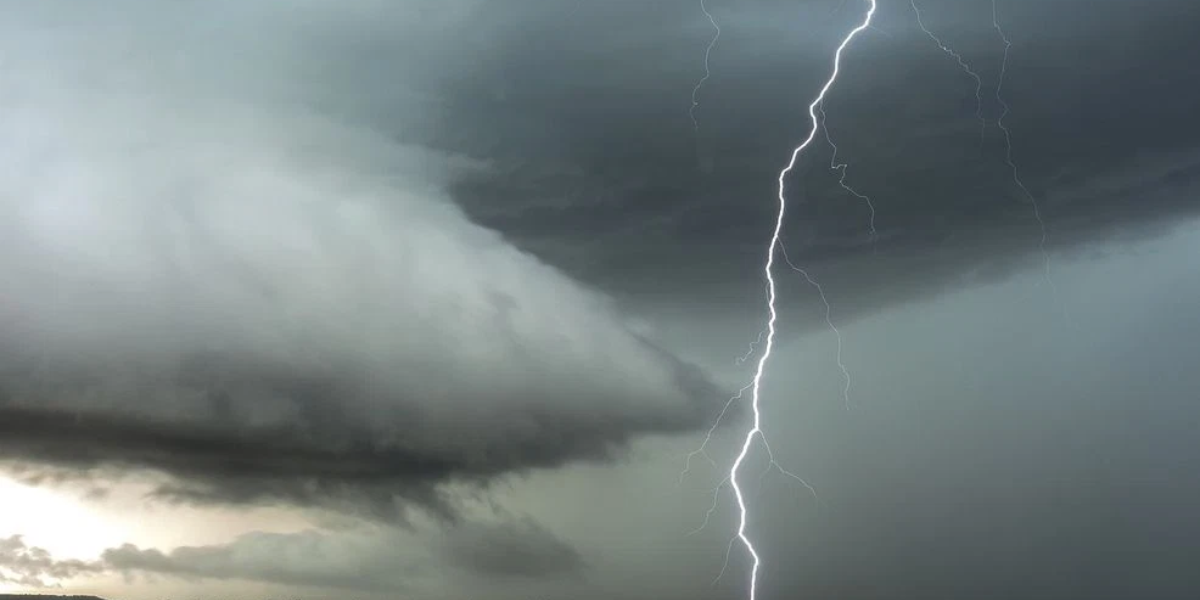
New Jersey- A flood watch remains active through 8 p.m. Monday as officials warn against driving through flooded roads — and the worst may not be over yet.
A dangerous weather situation continues to grip much of New Jersey Monday evening, with a flood watch in effect through 8 p.m. as scattered showers and thunderstorms keep the threat of flash flooding very much alive. Forecasters warn that the heaviest downpours could dump more than 2 inches of rain per hour in some spots, overwhelming drainage systems and turning streets into rivers within minutes.
Multiple flash flood warnings were issued earlier in the day, and while the most extreme flood risk has shifted north and east of the state, conditions remain dangerous — particularly across southern New Jersey, where additional storms are expected to roll through the evening hours. Urban neighborhoods and areas with poor drainage face the highest risk of sudden flooding.
Beyond flooding, damaging wind gusts pose the primary severe weather hazard in any stronger storms that develop tonight. However, the overall threat for severe weather remains low, according to forecasters. Residents are urged to monitor the latest alerts closely and stay off roads if flooding is observed.
Showers will gradually taper off Monday night as the low-pressure system responsible for this week’s soaking moves out of the region, though some lingering rain is expected overnight. Tuesday brings only isolated showers with minimal flood concerns.
Rest of the week forecast
Tuesday Isolated showers Low flood risk
Wednesday Mostly sunny Best day of week
Thursday Storms return 40–60% chance
Friday Hot + stormy Highs near 90°F
Wednesday looks to be the bright spot of the week as high pressure builds in, delivering partly to mostly sunny skies and comfortable temperatures — a welcome break after days of relentless rain. The relief will be short-lived, however. A new weather system approaching from the west will bring back a 40% to 60% chance of showers and thunderstorms by Thursday evening, with that risk continuing through Friday.
Friday is shaping up as the hottest day of the week, with temperatures expected to climb into the upper 80s to lower 90s. The heat index could reach the mid- to upper 90s, creating potentially dangerous conditions for those spending time outdoors. It remains uncertain whether storms will carry into next weekend, as forecast confidence is limited that far out.