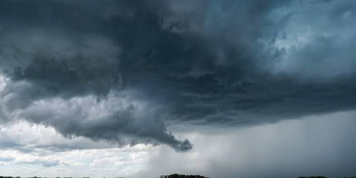
ASHEVILLE, North Carolina — If you are in the western Carolinas today, this afternoon is not the time to be caught off guard.
A Level 1 severe weather risk is now in place across a wide area of western North Carolina, upstate South Carolina, and portions of northeast Georgia. While storms will not be widespread, any cell that develops could turn strong to severe very quickly.
What Threats Are Expected Today
Forecasters have pinpointed three main hazards for today’s storms: gusty winds, large hail, and frequent lightning.
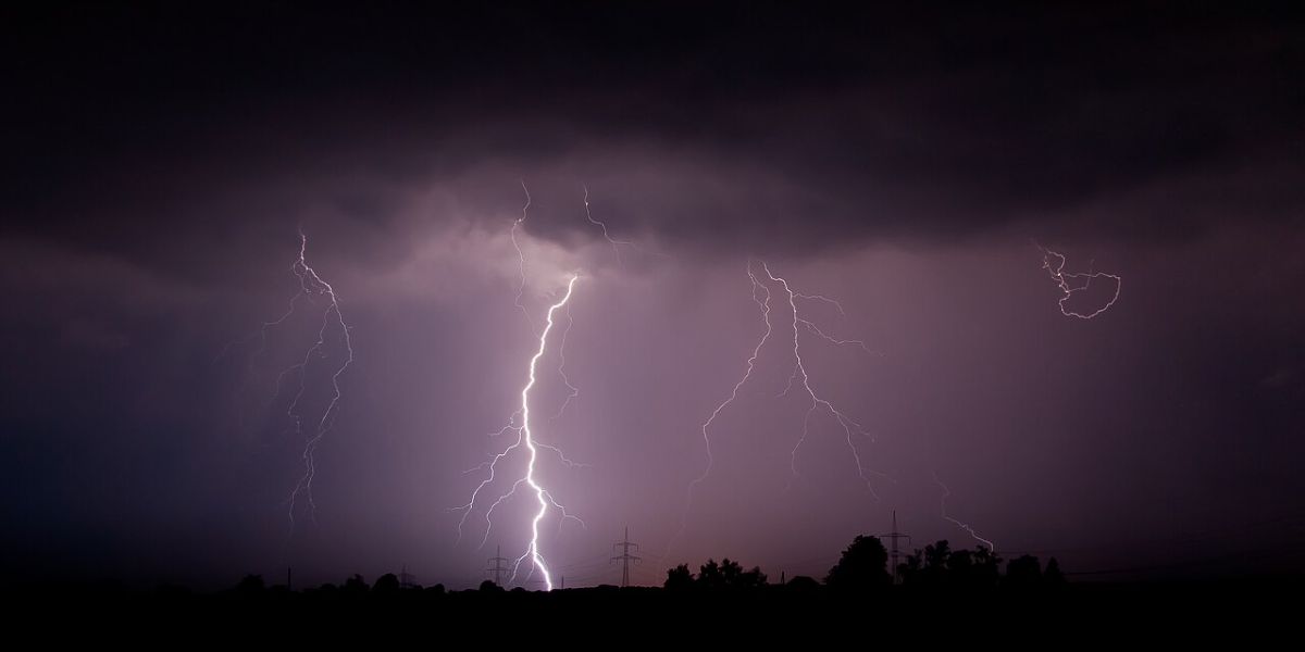
Cloud-to-ground lightning has been especially active in the region lately, and today’s atmospheric setup supports another dangerous round of that activity.
Do not let the Level 1 rating fool you — lightning alone is enough to be life-threatening, even without a tornado or severe wind event.
Which Areas Are Under the Risk Zone
The risk zone is broad. In North Carolina, it covers Asheville, Hendersonville, Franklin, Charlotte, Monroe, and Winston-Salem.
In South Carolina, Greenville, Anderson, and Columbia are all included.
The zone also stretches into Tennessee — covering Knoxville, Johnson City, and Morristown — and into northeast Georgia, including Gainesville and Toccoa.
When Storms Are Most Likely
The window to watch is 3 p.m. to 8 p.m. today. Coverage will be scattered, meaning not every area will see a storm.
But any location that does get hit could see conditions deteriorate rapidly with little warning.
If Storms Miss Your Area
Not everyone in the region will see rain today. For those who miss the storms, another round of brutal heat is ahead.
Heat index values are expected to climb between 100 and 103 degrees through the afternoon and evening hours.
Stay hydrated, limit time outdoors during peak heat, and keep an eye on local alerts throughout the day.
Are you in the path of today’s storm risk? Tell us where you are and what conditions look like in your area in the comments below.