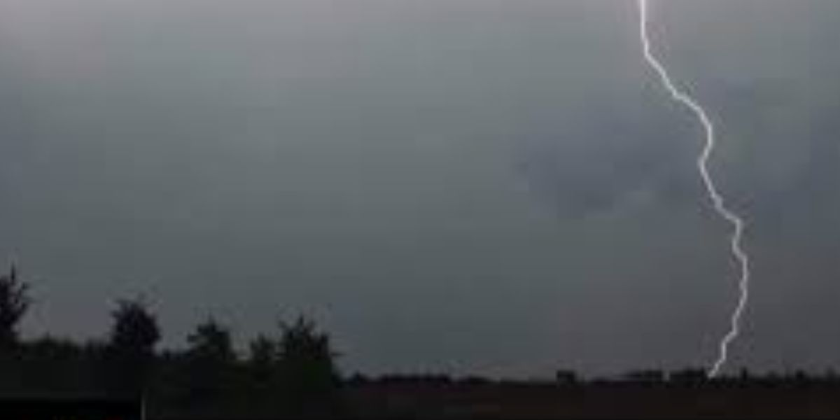
NEW YORK — A dangerous severe weather outbreak is unfolding across the Northeast today, and millions of residents across New York, Pennsylvania, and New England are directly in the crosshairs.
Federal meteorologists have issued an Enhanced Risk designation — one of the higher threat categories — for a corridor stretching through upstate New York into New England. A broader Slight Risk surrounds it, covering New York City, Long Island, New Jersey, Connecticut, Massachusetts, and parts of Pennsylvania.
This is not a routine storm system.
What Makes This Threat Serious
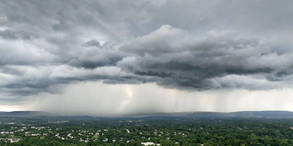
The combination of extreme heat and high humidity building across the region has created a highly unstable atmosphere. When storms fire into that environment this afternoon, they are expected to intensify rapidly — leaving little time for warning.
Damaging wind gusts are the primary danger, with speeds potentially exceeding 60 mph across the highest-risk corridor. At that threshold, trees snap, power lines go down, and structural damage becomes a real possibility — across one of the most densely populated regions in the United States.
Large hail is a secondary but significant threat across the same Enhanced and Slight risk zones.
When to Expect the Worst
The severe storm window opens this afternoon as daytime heating peaks, with the most dangerous conditions expected to continue through late evening. Storms will track from west to east, meaning areas further east may see threats extend later into the night.
What You Need to Do Right Now
Residents across New York, New Jersey, Pennsylvania, Connecticut, and Massachusetts should not wait for conditions to deteriorate before preparing.
- Charge your devices now
- Identify an interior shelter location in your home
- Move vehicles away from trees
- Have a battery-powered weather radio or alert app active
If a Severe Thunderstorm Warning is issued for your county, take shelter immediately. Do not wait to see the storm before acting.
Conditions will change quickly tonight.