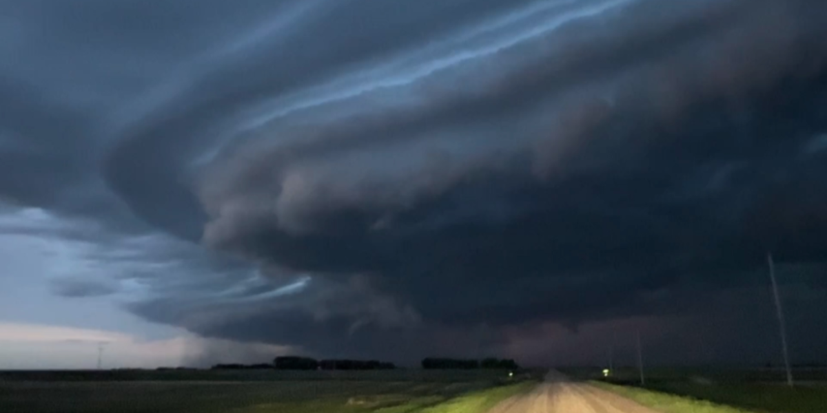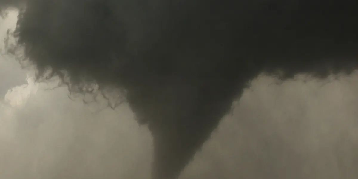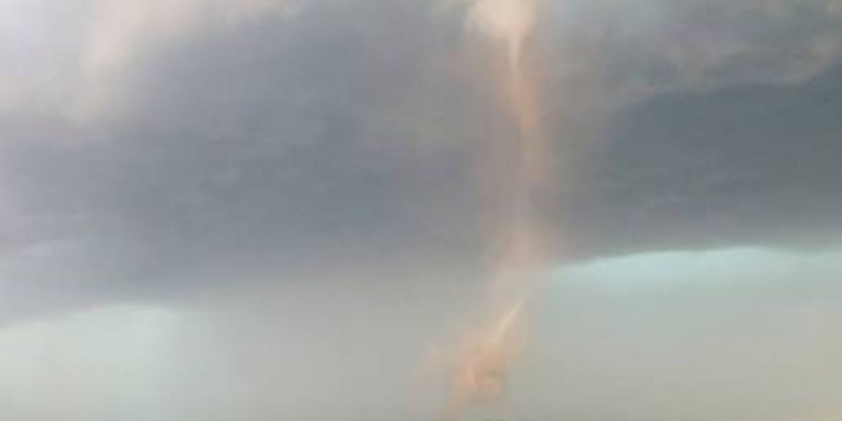
THIEF RIVER FALLS, Minnesota — A dangerous tornado setup is taking shape across northern Minnesota and eastern North Dakota on Monday, June 30, with forecasters identifying one tight corridor as carrying the highest tornado probability in the entire country.
The zone of greatest concern runs directly through Roseau, Thief River Falls, and Grand Forks — a stretch of the northern Red River Valley where atmospheric conditions are aligning in a way that rarely produces this level of concentrated risk so far north.
Fargo sits on the western edge of this elevated threat zone. The corridor running along and east of the Red River carries the most favorable conditions for tornado development.
What Makes This Setup Different
Forecasters issued a Level 2 tornado likelihood designation for this region — a rating that signals a genuine, elevated probability of tornadoes touching down, not just a possibility. That same rating does not appear anywhere else in the country for Monday.
A much larger Level 1 zone stretches across a wide swath of the central United States, covering areas from Duluth and Minneapolis south through Sioux Falls, Omaha, Des Moines, Kansas City, and Columbia. Residents across the Dakotas, Nebraska, Iowa, and Missouri should also remain weather-aware throughout the day, even if they are outside the core zone.
What Residents in the High-Risk Areas Should Do Now
Anyone in or near Roseau, Thief River Falls, Grand Forks, or Fargo should not wait until Monday morning to prepare.
Know where your nearest sturdy interior shelter is before storms arrive. Monitor local National Weather Service updates throughout the day as storm timing becomes clearer.
If a tornado warning is issued for your county, move immediately to the lowest floor of a sturdy building, stay in an interior room away from all windows, and do not leave until the warning is lifted.
Conditions in this corridor will be monitored closely through the day. Stay weather-ready.