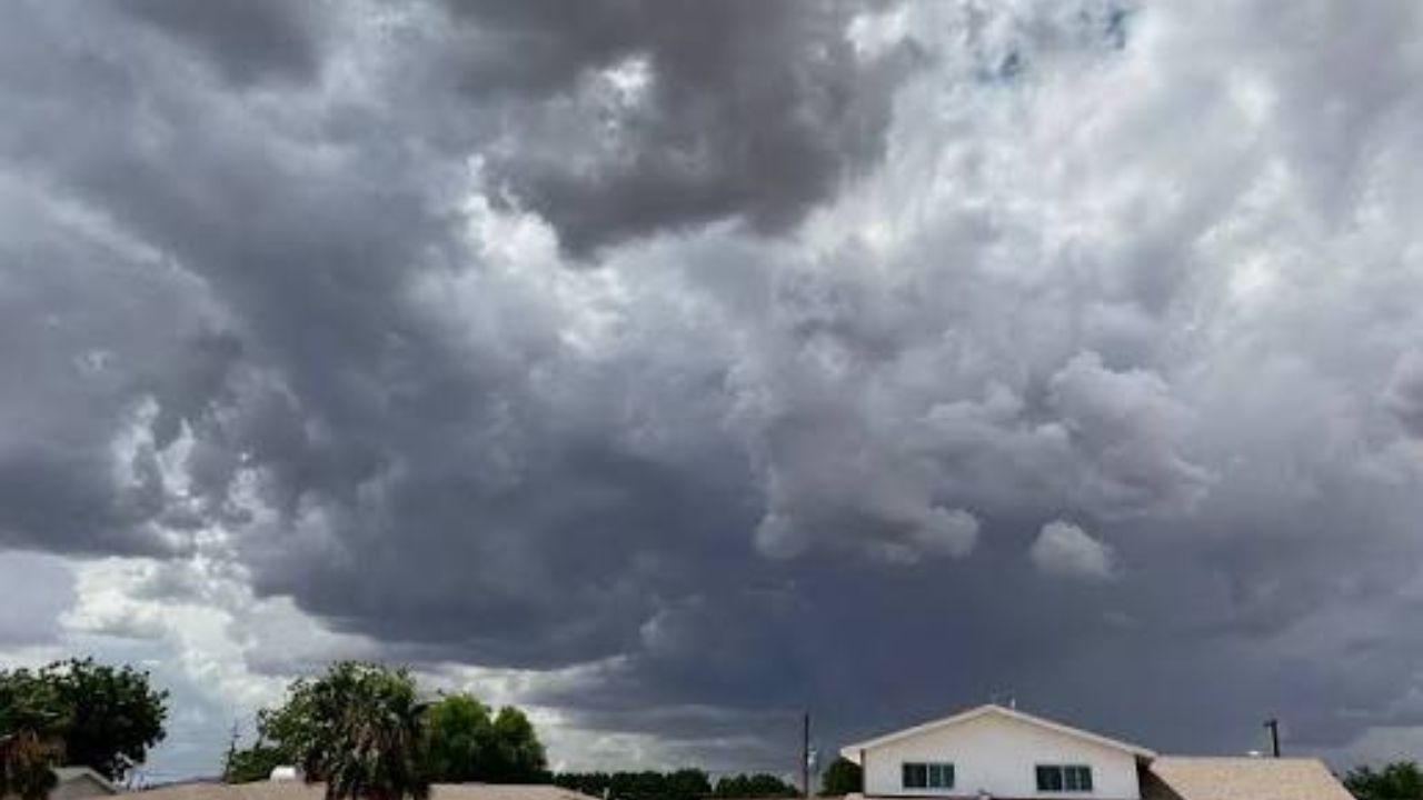
BRIDGEPORT, WV — While residents may feel relief from last week’s scorching heat, forecasters are now warning of a new and potentially more dangerous threat: widespread flooding. A multi-day stretch of rain and severe storms is expected to grip North Central West Virginia (NCWV) from Tuesday through Saturday, raising serious concerns for low-lying areas, creeks, and drainage systems across the region.
Daily high temperatures throughout the week are expected to settle in the low-to-mid 70s at lower elevations, offering a break from the heat. However, that mild air comes loaded with humidity, creating the exact conditions needed to fuel heavy, slow-moving storms — the type most likely to trigger flash flooding.
Flood Warning: The majority of NCWV is forecast to receive at least 1 inch of rainfall between Tuesday and Saturday. Certain locations, particularly those in elevated terrain east of I-79, could see rainfall totals exceeding 3 inches — significantly raising the risk of flash flooding and rising water levels in creeks and rivers.
Early in the week, Tuesday and Wednesday, showers and storms will be more isolated, concentrated primarily in the mountains east of I-79. Slow-moving storms on these days could still spark flash flooding in vulnerable areas, but the greatest danger arrives later in the week.
Beginning Thursday and continuing through Saturday, a cold front pushing down from the north will trigger the most widespread and persistent rainfall of the week. As the ground becomes increasingly saturated over multiple days, even moderate rain could overwhelm drainage systems and push water levels in creeks and rivers to dangerous heights. Residents near flood-prone areas are strongly advised to monitor local alerts closely and avoid low-water crossings during and after heavy rainfall events.
Friday is forecast to be the coolest day of the stretch, with temperatures potentially dropping a few degrees below the weekly average. Emergency management officials have not yet issued formal flood watches, but conditions throughout the week warrant heightened awareness, particularly for those living near waterways and low-lying roads.