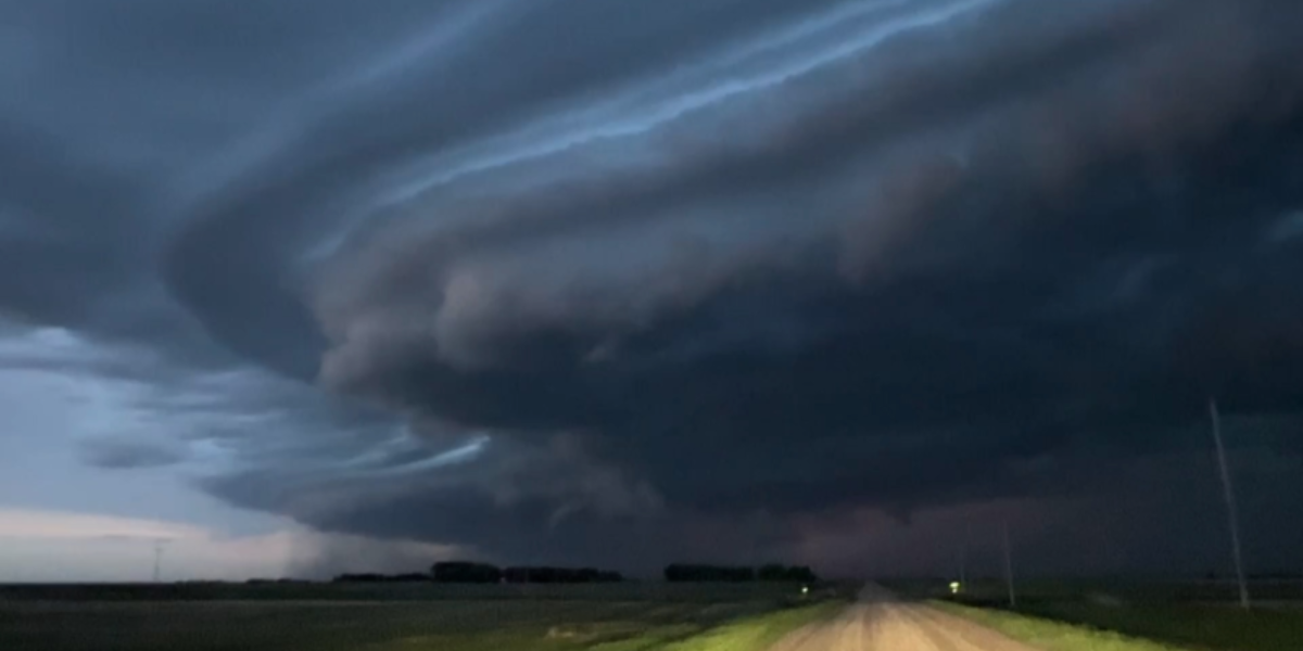
New Jersey residents should prepare for a unsettled stretch of weather ahead, with multiple rounds of storms arriving starting tonight and a potentially dangerous heat buildup expected by the middle of next week.
The first wave of rain and thunderstorms will move into the state late Thursday night into early Friday morning, primarily affecting areas north of Interstate 78. Most of Thursday will remain partly sunny with temperatures climbing into the mid-80s before conditions deteriorate overnight.
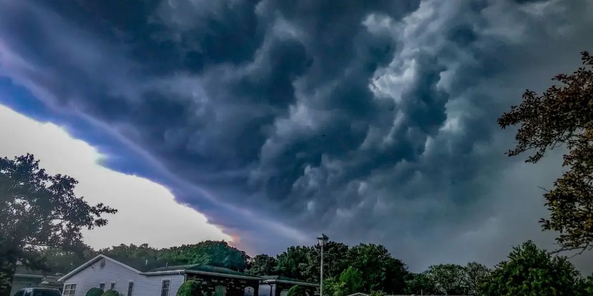
Friday’s daytime hours may offer a brief break for much of the state, though isolated showers remain possible. However, a second, more widespread round of showers and thunderstorms is expected to develop late Friday night, pushing into Saturday — particularly south of I-78 as a slow-moving front clears the region.
Officials say widespread flooding is not expected and the threat for severe weather remains low, but downpours are possible during both storm rounds. Residents are advised to stay weather-aware, especially during evening and overnight hours.
Humidity will rise noticeably through Friday as warm, moist air pushes into the region — making conditions feel muggier than the temperatures suggest. Some relief arrives Saturday, when less humid air returns and highs drop slightly into the mid-to-upper 70s.
Sunday brings a welcome change — drier, sunnier skies with temperatures back in the low 80s.
But the bigger story is what comes after.
Forecasters warn of a significant heat surge building toward the middle of next week. By Wednesday, heat index values — what the air actually feels like — could reach between 90 and nearly 100 degrees. The pattern is expected to persist through the holiday weekend.
There remains some uncertainty in the extended forecast, as weather models disagree on the timing and intensity of the heat. Some suggest a cooler, more unsettled pattern could keep temperatures in check, while others point to a rapid and intense heat expansion.
Residents should monitor forecasts closely and prepare early for potential heat-related health risks as the week progresses.